Key Takeaways
A useful drone programme starts with a project decision, not a flight plan. Consistent capture, safe coordination and clear file management make aerial imagery easier to use throughout construction.
- Set a purpose and repeatable viewpoints for each flight.
- Coordinate access, weather and site activity before launching.
- Choose capture methods to suit the detail and outputs required.
- Store and share imagery so project teams can compare it over time.
- Check current CASA requirements, airspace and site controls before flying.
How construction teams use drone photography
Construction drone photography gives teams a broad view of a site that can be difficult to assemble from ground-level photographs alone. Used at planned intervals, aerial images can help explain what has changed and where work is taking place. They are most useful when the team knows what question the images should answer and captures them consistently. Aerial views complement, rather than replace, site records and close-up inspections.
Track progress against the programme
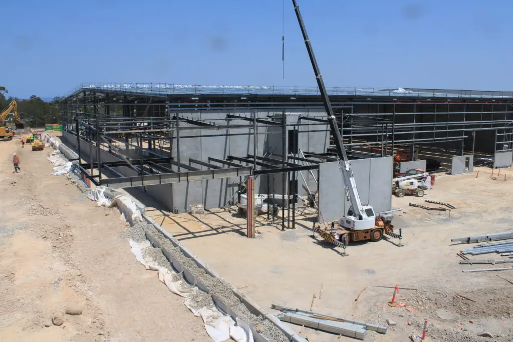
Aerial images can show the overall arrangement of buildings, access routes, laydown areas and active work zones at a particular point in time. Comparing views captured from similar positions can help project teams discuss visible changes against planned milestones. The images do not, by themselves, confirm that a task is complete or on programme; they provide context for a review alongside schedules and site information. A consistent visual record makes those discussions more grounded.
Document site conditions and changes
A dated image can record visible conditions such as access, ground disturbance, material locations or temporary works. This can be helpful when a project team needs to revisit how an area appeared before a later activity or change. The record is strongest when the capture date, location and viewpoint are clear, and when images are stored with the project’s other documentation. Construction Time Lapse Specialists provides visual monitoring services including drone imaging and high-resolution photography, which can form part of a broader project record.
Support inspections and stakeholder updates
Aerial photographs can help communicate the relationship between different parts of a large site, while ground-level photographs show finer detail. Together, they give stakeholders a more complete view than either perspective alone, though neither replaces a formal inspection where one is required. Select images for reports based on the decisions readers need to make, rather than choosing only the most dramatic view. A project presentation can also be planned for a public-facing website, where imagery and supporting context should work together.
Plan a useful aerial photography programme
A flight programme is easier to manage when it is designed around the project’s reporting rhythm and site constraints. Before booking or assigning a pilot, agree what the images are meant to show and who will use them. Then decide how often to capture, which viewpoints matter and how the files will be reviewed. This preparation turns a collection of pictures into a repeatable visual record.
Define the decisions each flight needs to support
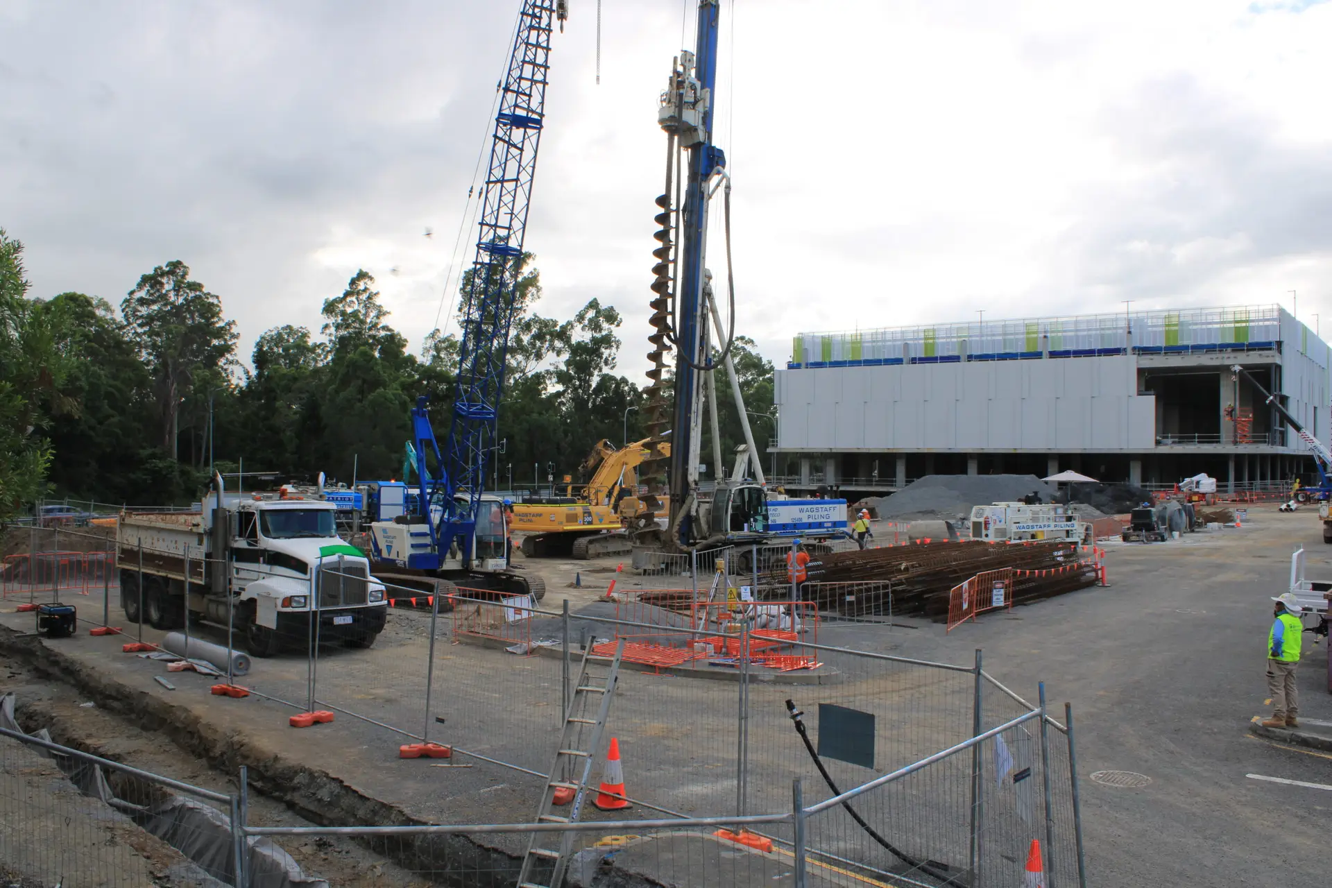
Start with the intended use: a progress discussion, a record of a changing site condition, a stakeholder update or another defined need. A clear purpose helps set the required coverage, image detail and delivery format. It also prevents teams from collecting imagery that looks impressive but is difficult to apply. For a project with multiple trades, the capture brief should identify the areas each team needs to see and the context that will make the view useful.
Set a repeatable flight schedule and viewpoints
Consistent dates and viewpoints make comparisons easier, especially when project activity changes quickly. The schedule can align with reporting cycles or key milestones, with flexibility for weather and site operations. Record the planned camera position, direction and approximate height so that future captures can be made in a comparable way. A simple schedule helps teams coordinate around installation work too, such as the permits, logistics and trade sequencing involved in a photovoltaic installation.
Coordinate site access, activity and weather windows
A flight should fit the site’s daily controls, not interrupt them. Confirm access arrangements, active work zones and the person responsible for coordinating with the pilot; then check forecast conditions and agree what would trigger a postponement. A short pre-flight coordination routine can cover:
- Site access and the nominated contact.
- Work areas, plant movements and any restricted zones.
- Weather conditions and a suitable alternative time.
- How the team will be notified when the flight starts and finishes.
That routine gives the site team a clear opportunity to raise conflicts before the aircraft is prepared. Where projects require broader preparation, a site photography guide can help teams think through goals, repeatable captures and coordination as part of the same planning process.
Choose the right drone and capture method
Equipment should follow the intended use, not the other way around. A wide view for a general progress update has different requirements from imagery intended to show a small feature or support a mapping workflow. The aircraft, camera, flight plan and processing method all influence what can be captured and how it can be used. Be clear about the expected output before deciding whether a basic photographic record is enough.
Match camera capabilities to the required detail
Consider the area to be covered, the distance from the subject and the level of detail readers will need. A camera setup suitable for an overview may not resolve smaller features from the same height, while moving closer may change the coverage and site coordination required. Ask the operator to explain what the proposed camera can capture under the site’s conditions and what limitations apply. Construction Time Lapse Specialists also provides 4K cameras and high-resolution photography, alongside its visual monitoring services; select the relevant approach to match the project brief rather than assuming every capture method serves the same purpose.
Decide between manual flights and automated missions
A manual flight can be appropriate when the operator needs to respond to changing conditions or capture a particular view. A planned automated mission may help repeat a defined route, provided the aircraft, site conditions and applicable requirements allow it. In either case, record the intended viewpoints and review whether the resulting images are consistent enough for comparison. Repeatability is a practical objective, not a reason to proceed when conditions or site controls make a flight unsuitable.
Consider mapping, thermal and other specialist sensors
Specialist sensors and mapping workflows should be selected only when they serve a defined project need and the operator can explain the output. A standard photograph, a processed map and a model are different deliverables, each with its own capture and review considerations. Confirm the required accuracy, processing scope and any validation method before commissioning specialist work. Do not infer measured quantities or inspection conclusions from imagery that was captured only for general visual reporting.
Capture consistent, usable site imagery
Good capture practice is less about a single perfect image than a reliable set that can be understood later. Viewpoint, height, lighting and coverage all affect whether an image is easy to compare with an earlier one. Keep the project’s reporting purpose in mind while making those choices, and document any variation from the planned approach. A few minutes of checking on site can prevent gaps that only become obvious during review.
Set flight height, image overlap and camera angle
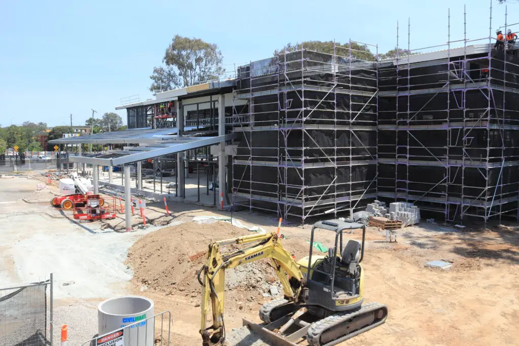
The appropriate height and angle depend on the subject, the required coverage and the capture purpose. A broad overview may need a different framing from a view focused on a particular work area. For mapping workflows, follow the operator’s agreed capture specification, including any overlap requirements; do not assume that ordinary progress photographs are suitable for measurement. Keeping camera direction and viewpoints similar between scheduled visits makes visual comparisons more meaningful.
Use lighting and weather conditions to your advantage
Light affects contrast, shadows and how clearly site features appear. Where timing is flexible, consider when the relevant parts of the site will be easiest to see, while remaining within site access arrangements and safe operating conditions. Wind, rain, haze and changing cloud can also affect whether a flight is appropriate or whether images will be comparable with earlier captures. If conditions are poor, rescheduling is often more useful than trying to force a capture window.
Check image quality and site coverage before leaving
Review a sample of the images while still on site, checking focus, exposure, framing and whether important areas are visible. Confirm that the intended viewpoints were captured and note any blocked or inaccessible zones. A short review can identify a missed angle while it is still practical to address it. For a photo record, the key is not simply having many files; it is having enough clear, relevant images to support the agreed purpose.
Process and share the imagery
Capture is only one part of an effective visual record. Files need useful names, a known location and a clear route to the people who need them. Teams should also decide whether they need unprocessed images, selected report photographs or a specialist processed output. A simple, agreed workflow reduces confusion when several flights and project stages accumulate.
Organise files by date, location and flight
Use a consistent folder and naming convention that distinguishes capture dates, site areas and flight sessions. Keep original files and any edited versions identifiable, and retain basic notes about the viewpoint or purpose where those details matter. This makes it easier to find the right image later and reduces the chance of comparing unrelated views. Apply the same approach whether files are held in a project platform or a controlled shared folder.
Create progress comparisons, orthomosaics and 3D models
Different outputs answer different questions, so agree the deliverable before processing begins. A selected set of photographs may suit a progress report, while an orthomosaic or 3D model requires an appropriate capture and processing workflow. The team should confirm what is included, how long processing is expected to take and how outputs will be reviewed. Construction Time Lapse Specialists combines time-lapse systems with drone imaging and high-resolution photography as part of its visual monitoring services; the project brief should still specify the particular imagery and outputs required.
Share outputs securely with project stakeholders
Access should reflect who needs the imagery and for what purpose. Agree where approved files will be shared, who can view them and how long they should remain available under the project’s information practices. For public-facing material, separate selected presentation images from internal working records and check that people or sensitive areas are not disclosed unnecessarily. Aerial images can also help explain a project’s scale to prospective clients; contractors may consider when construction imagery supports proposals, while keeping claims grounded in what the photographs actually show.
Manage safety, privacy and Australian regulations
Drone photography on a construction site involves both aviation requirements and site-specific controls. Responsibilities should be clear before the aircraft is brought onto the project, including who approves access and how workers will be kept informed. Requirements can depend on the operation, aircraft and location, so avoid relying on a generic checklist as a substitute for current advice. A planned pause or change of location is preferable when the flight cannot be conducted within the applicable rules and controls.
Follow CASA rules and check airspace restrictions
Before a flight, check current Civil Aviation Safety Authority requirements and any applicable airspace restrictions for the planned location and operation. Confirm that the operator has the necessary permissions or credentials for the work, where required, and that the proposed flight can be carried out lawfully. Requirements may change, so verify them through current official guidance rather than relying on an old project procedure. If the site is near restricted airspace or other sensitive locations, resolve that question before scheduling capture.
Coordinate flights with workers, plant and site controls
Treat the flight as a planned site activity. Coordinate with the person responsible for site access, agree how nearby workers and plant will be managed, and follow project induction and exclusion-zone requirements. The operator and site team should know who can call a stop if conditions change. A provider’s ability to work safely on a site is one of the matters to assess when considering construction drone services, alongside its proposed scope and deliverables.
Protect personal information and manage image access
Aerial images may incidentally capture workers, neighbouring properties, vehicle details or other information that should not be widely circulated. Limit capture to what the project needs, control access to stored files and follow the organisation’s privacy and retention practices. Before sharing an image externally, review it for identifying details and confirm that publication is appropriate. Construction Time Lapse Specialists describes secure remote portal access for viewing site progress; project teams should still agree who receives access and how it is managed.
Measure value and choose a service approach
The right service approach depends on how often imagery is needed, the skills available in-house and the level of processing or reporting required. A one-off capture may suit a defined milestone, while recurring work benefits from a clear schedule and consistent outputs. Compare the full workflow rather than just the cost of a flight: planning, access, review, processing and secure sharing all take time. The best choice is the one that reliably supplies the evidence the project will use.
Compare in-house capability with a specialist provider
An in-house approach may suit a team with trained personnel, suitable equipment, time to plan flights and a process for managing files and permissions. A specialist provider may be preferable when the project needs particular capture experience, recurring availability or processed deliverables beyond the team’s capacity. Ask how the provider will coordinate with the site and what the team must prepare. The decision should reflect the project’s workload and requirements, not an assumption that one model is always better.
Assess deliverables, turnaround times and data ownership
Set out what will be delivered, in which formats, on what schedule and through what access method. Clarify who owns or may use the imagery, how originals and processed files are handled, and whether any limits apply to sharing or retention. These points matter as much as image quality when a record must remain accessible across the project lifecycle. A written scope helps prevent mismatched expectations about processing or reporting.
Track time saved, issues identified and reporting benefits
Value is easier to judge when the team records how imagery is actually used. Note whether it made a site review clearer, helped stakeholders understand a change or reduced time spent assembling a visual update. Do not treat a photograph as proof that an issue was found or resolved; pair it with the relevant project record and follow-up. A small review after several capture cycles can show whether the schedule, viewpoints and outputs are worth continuing.
Conclusion
Construction drone photography is most useful when it is planned around real project decisions and carried out with consistent viewpoints, careful site coordination and a clear process for storing and reviewing imagery. Set expectations for the capture and outputs early, then adjust the programme as the site changes.
Discuss your next project
If you are planning a visual record for a construction project, talk with our team about the time-lapse camera solutions, drone imaging and photography options that may suit your needs.